
Geospatial Intelligence · Digital Transformation · Riau, Indonesia
Turning remote sensing into spatial intelligence that powers multi-disciplinary business decisions.
I'm Amit — a Geospatial Intelligence and Remote Sensing leader specializing in digital transformation for forestry and natural-resource management through UAV, LiDAR, satellite analytics and data science. 13+ years translating complex spatial data into measurable business outcomes — inventory accuracy, operational efficiency, monitoring scalability and strategic decision-making at enterprise scale.
Currently
Manager — Remote Sensing, Digital Innovation & Advanced Analytics
APRIL Group, Indonesia
13+
Years in geospatial & digital transformation
10+
Years leading remote sensing & analytics
2
Continents of cross-regional rollout (ID · BR)
M.Sc.
Geoinformatics — ITC, University of Twente

Amit Kumar Haldar
Riau · Indonesia
About
From forest canopy to city street, my work translates spatial data into operational decisions.
I currently lead the Remote Sensing, Digital Innovation & Advanced Analytics function at APRIL Group, managing a multidisciplinary team of Geospatial Engineers, LiDAR Analysts, UAV Pilots and Data Scientists to operationalize enterprise-scale geospatial solutions. My work bridges technology, operations and business strategy — turning innovation into scalable execution.
Before forestry, I spent three years as an urban planner across India — parking master plans, TOD guidelines, station area planning, regional plans — which still shapes how I think about accessibility, equity and sustainable systems. I'm now exploring PhD opportunities in remote sensing, LiDAR analytics, biomass estimation, forest carbon and AI-driven environmental monitoring, and I'm open to consulting collaborations in geospatial innovation, precision forestry and digital transformation.

The technology stack
Satellites in orbit. Drones in the sky. Decisions on the ground.
A working toolkit that spans space-borne sensors, airborne LiDAR, autonomous UAVs and field-grade AI — woven into operational decisions across millions of hectares.
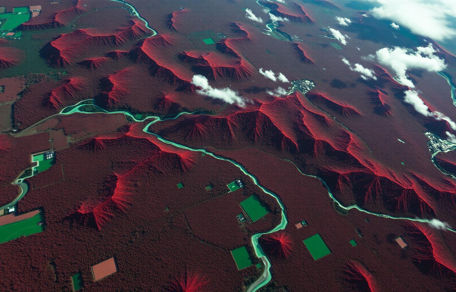


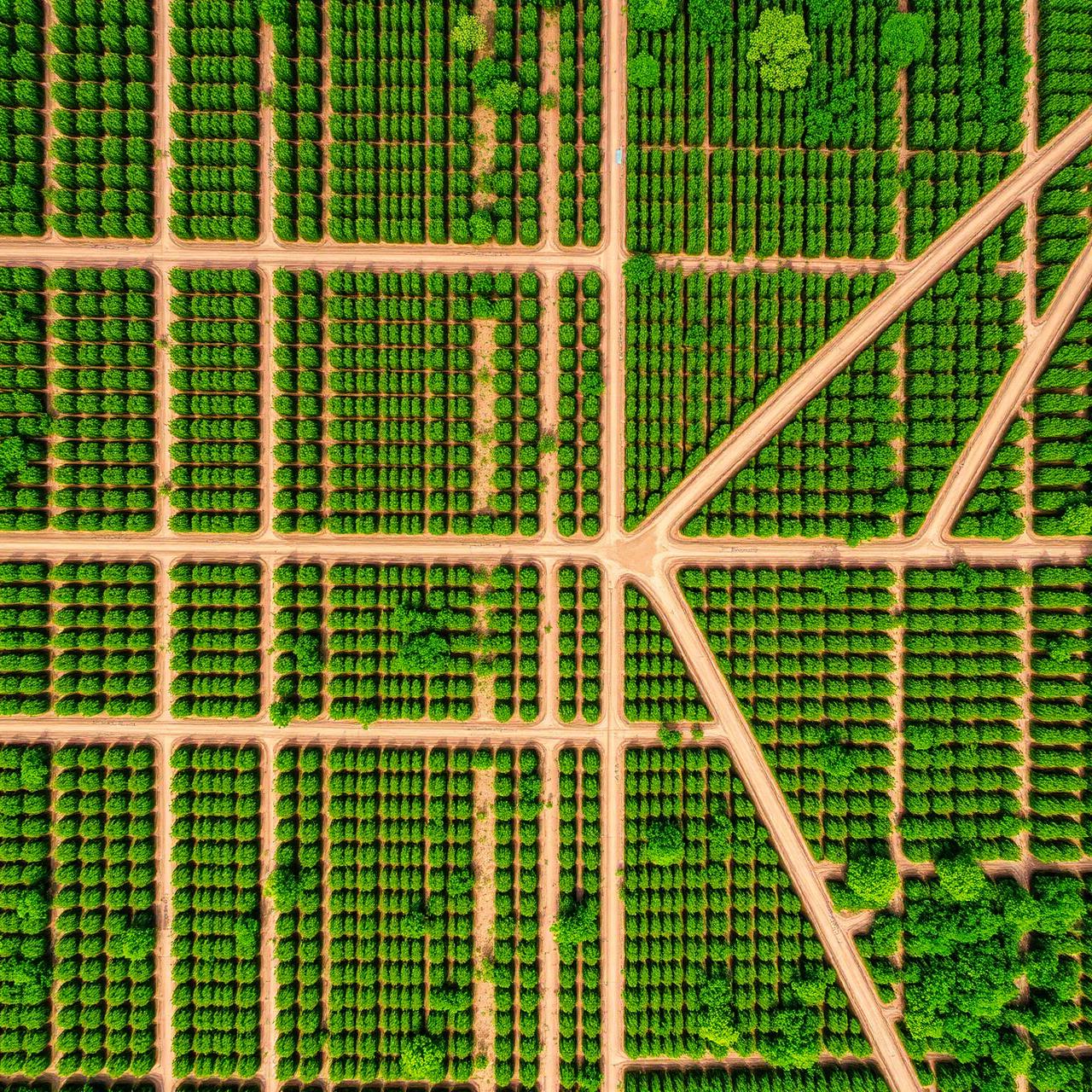
Plantation orthomosaic
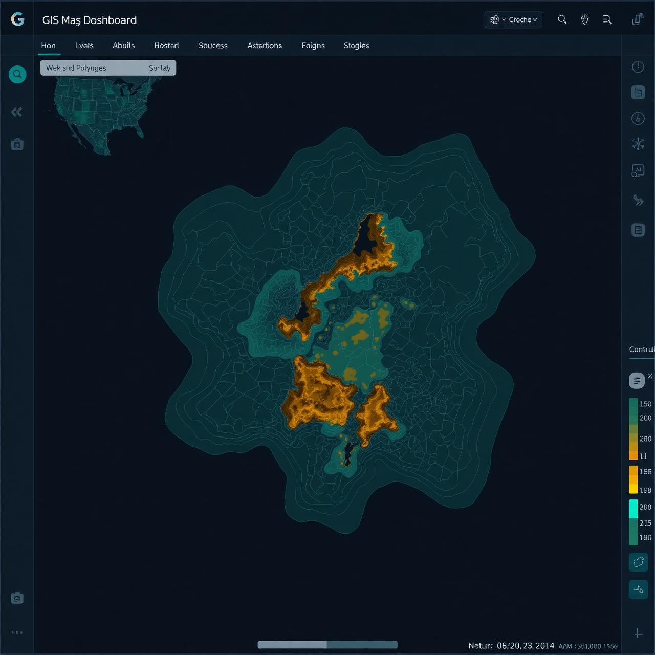
GIS dashboarding
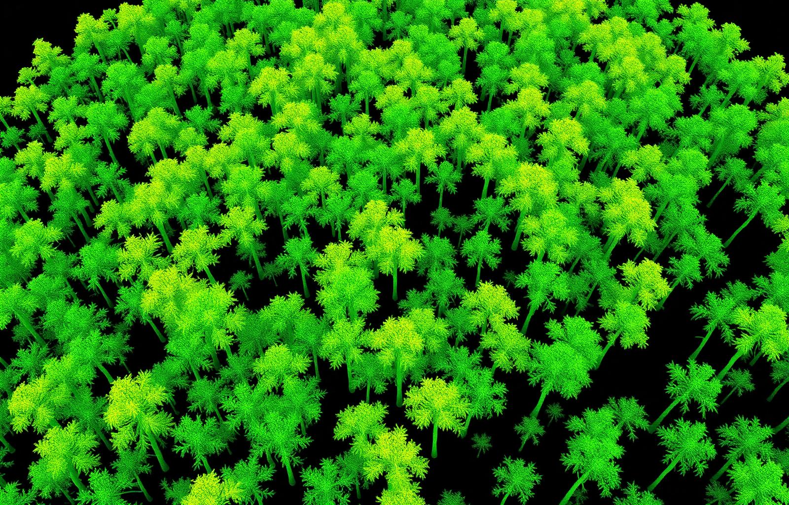
Canopy structure
AI annotations
What I do
Four practice areas, one through-line: data into decisions.
01
Digital Transformation & Innovation Leadership
Owning the full innovation lifecycle — ideation, POCs, pilots, and enterprise rollout — with governance, KPIs, and adoption frameworks that deliver measurable business impact.
02
AI, Computer Vision & Advanced Analytics
Deploying machine-learning and computer-vision solutions for disease detection, wood-loss estimation, weed monitoring, flood risk, and operational decision support.
03
UAV, LiDAR & Satellite Remote Sensing
Landscape-scale aerial LiDAR inventory, UAV programs across Acacia and Eucalyptus plantations, and multi-temporal satellite analytics for change detection and sustainability.
04
Urban Planning & Spatial Analytics
Earlier foundations in transit-oriented development, station area planning, accessibility, and regional planning — informing a research interest in GeoAI for urban environmental quality.

Signature programs
Established and scaled APRIL's Remote Sensing & Geospatial Analytics department — from strategy and governance to enterprise rollout.
- · UAV-LiDAR inventory across Acacia and Eucalyptus plantations
- · AI & computer vision for disease, weed and wood-loss monitoring
- · Landscape carbon, biodiversity and flood-risk frameworks
- · Cross-regional technology transfer across Indonesia & Brazil